Infrastructure inspection
Plan aerial data collection for utilities, transportation, construction and critical infrastructure.
DRONES & UNMANNED AIRCRAFT SYSTEMS
UAS platforms, sensing, data and operations brought together for infrastructure, enterprise and public-sector use.
Discuss your requirements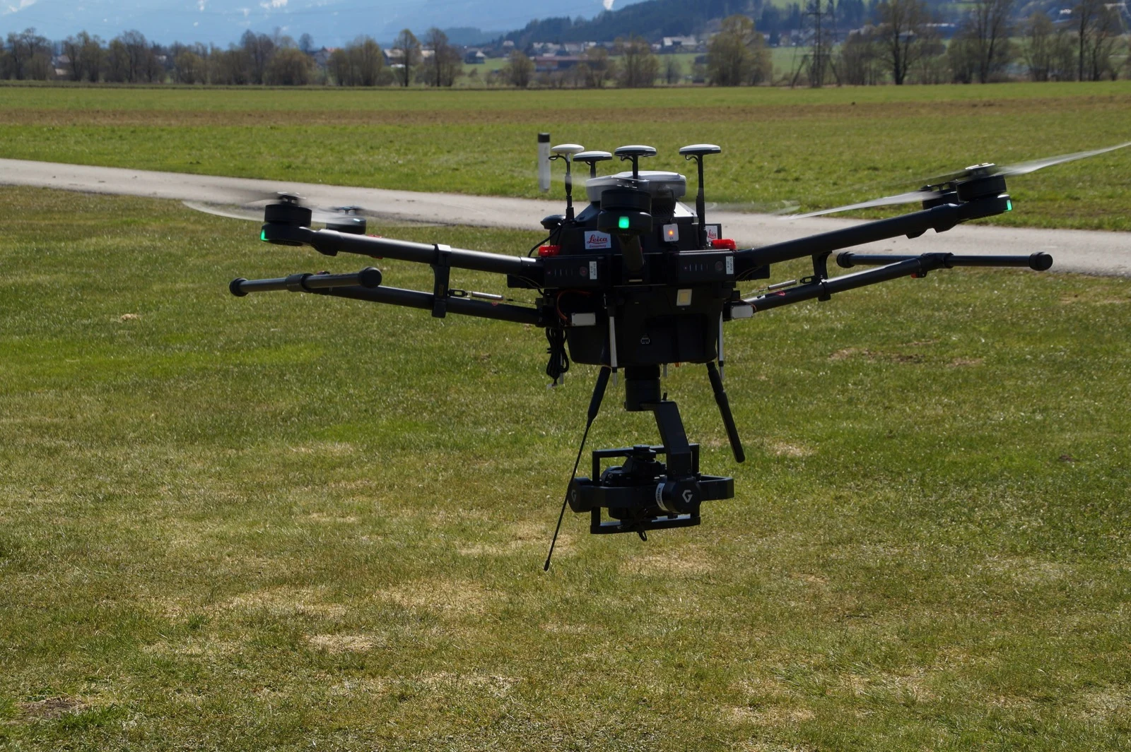
APPLICATIONS
LSG links aircraft selection to the connectivity, data and workflows needed to make aerial sensing useful.
Plan aerial data collection for utilities, transportation, construction and critical infrastructure.
Connect airborne sensing with command centers, coordinated response and enterprise decision-making.
Build UAS learning environments, labs and supporting infrastructure for schools, colleges and workforce programs.
PROGRAM DESIGN
Build an operating model around the mission and the complete technology stack.
Coverage, wireless and satellite options, edge processing and secure data delivery.
Product-level sourcing, identity, data location, access and retention requirements.
Deployment coordination, qualified operating partners, fleet software and maintenance planning.
PUBLIC-SAFETY UAS
DFR programs connect aerial awareness to dispatch and response. Explore program readiness, command-center integration and managed operating models for public safety.
Explore Public Safety & DFRFlight permissions, operating arrangements and customer-specific sourcing requirements are established for each program. Platform availability does not imply eligibility for every government application.
BUILD WITH LOGICAL SOLUTIONS GROUP
Bring us the mission. We’ll help connect the technology, the infrastructure and the operating model.